
Where the River Moved: The Story of Neatsville, Kentucky
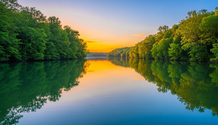
Imagine a shallow crossing on a slow, green stretch of water in the Kentucky hills. A wagon rolls down the bank and the horses lean into the current. A few log buildings stand on the far side, with smoke rising from a mill. Almost two centuries ago, this was the beginning of Neatsville, a small community that has been moved twice and has changed its spelling more than once.
Neatsville is now an unincorporated community in Adair County, Kentucky. This article follows its history from the early settlers to the reservoir that reshaped its landscape.
A Ford on the Green River
The settlement grew up around a ford on the Green River, in the early decades of the 19th century. The first community stood on the Casey County bank. Over time the river shifted, and the settlement re-established itself on the southern side, in what is now Adair County.
The place takes its name from the Neat family. Their patriarch, Rudolph Neat Senior, was a German immigrant who is recorded as arriving in America in 1741 and settling first in what is now Rowan County, North Carolina. His descendants later moved west into Kentucky and gave their name to the crossing and the village around it.
A Town with Mills and a Masonic Lodge
The settlement drew other families, and by the middle of the 1800s it supported a good range of trades. Accounts mention a general store, a blacksmith, two mills, distilleries and a salt works. A hotel, a saloon and further shops followed, along with a doctor's surgery. The community also had its own Masonic Lodge, numbered 705.
In 1847 the Kentucky General Assembly incorporated the settlement as a town, and local voters elected trustees to run it. The population was never large. Estimates put it at around 50 people in 1848 and about 60 in 1876. Its importance came from its position, as a place where farmers, millers and travellers met on the river.
A name that kept changing
The spelling of the name has been unsettled throughout its history. Records show Neatsville and Neetsville, and a post office later operated under the name Neatsburg. The post office itself opened under various names and closed more than once. One spelling, Neetsville, was used from 1876 until 1886, and historians have found no clear reason for the change. The town is no longer incorporated, though the name Neatsville has survived on maps.
The Flood and the First Move
The river that gave the town its purpose also threatened it. Between about 1900 and 1902 a major flood struck, and the Green River cut a new channel through the main part of the town. Much of the community was devastated. The buildings and the street plan that had developed over decades were broken up.
Neatsville did not disappear. Residents rebuilt on a new footing and the community continued, though it never regained the busy character of its riverside years. Later generations remembered the flood as the point at which the old town ended.
A Lake Where the Valley Was
The second move came in the 1960s. The US Army Corps of Engineers began buying land in the area in 1964 for a flood-control reservoir, Green River Lake, which involved damming the river. Families moved to higher ground both north and south of the old river course, and the valley that had held the ford, the mills and the early homes was prepared for the rising water.
Reservoirs of this kind were built across much of the United States in the mid-20th century. They protected downstream communities from floods and created new recreational waters. For the people living in the valley, though, they meant leaving settled places, and Neatsville was one of several communities affected.
Neatsville Today
The community now sits at the junction of Kentucky Routes 206 and 76, at an elevation of 705 feet (215 metres). It lies in the north-east of Adair County, about 14 miles north-east of the county seat, Columbia. Pellyton is a short distance up Route 206, and Ella lies a few miles to the south. Its ZIP code is 42728.
Neatsville is not a showpiece village with a visitor centre. It is a rural settlement in the green, rolling country around Green River Lake, which draws anglers, boaters and walkers to the lake and its state park. A visitor with an interest in local history can still read the landscape. The roads, the river and the lakeshore show why people first settled here.
A Small Place with a Long Memory
Neatsville's story is one of adaptation. A family name became a town name, the town gained a charter and lost it, and the settlement was rebuilt after a flood and moved again for a dam. Few places so small have changed so much.
The community's lasting value lies in what it shows about American river towns. They grew where the water allowed, and they were reshaped when the water changed or when planners decided to control it. Neatsville is still on the map, a little higher above the Green River than it once was.